
Maleny District Green Hills Fund is undertaking several rainforest restoration projects on the Maleny Community Precinct. As a part of these projects, Green Hills is undertaking monitoring of the progress of the revegetation through the use of photography and video to document the areas planted and the subsequent growth of trees.
Articles of interest will be added for these projects as they occur. The most recent articles will be at the top of this page.
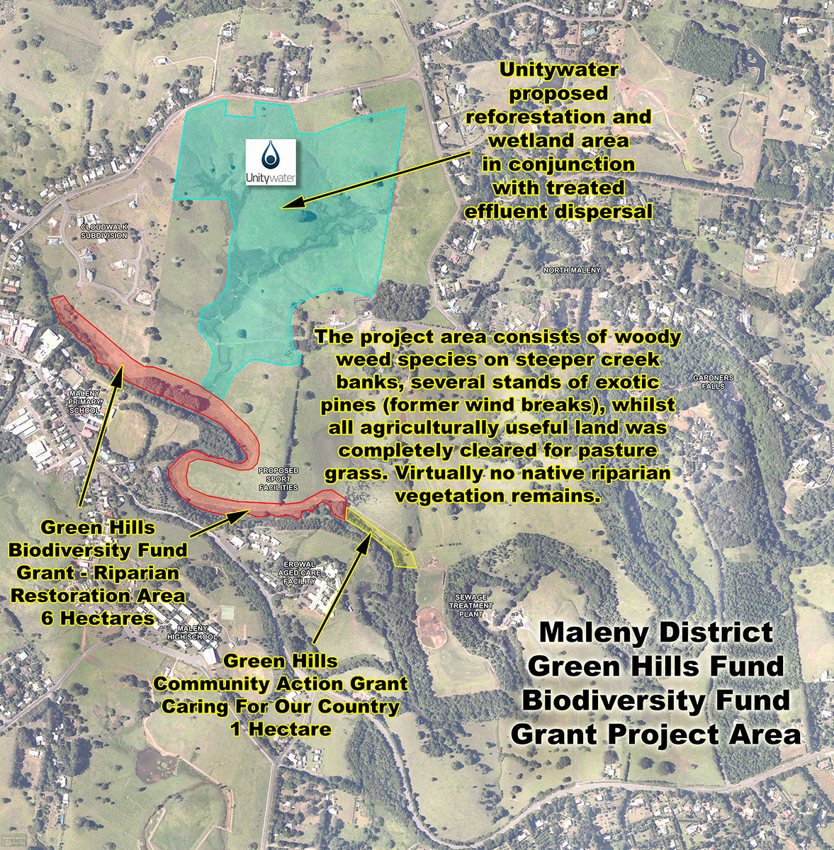
Australian Government's Clean Energy Future Biodiversity Fund Grant
Green Hills has been granted $175,000 from Round One of the Australian Government’s Clean Energy Future Biodiversity Fund for rehabilitation work on Maleny Community Precinct.
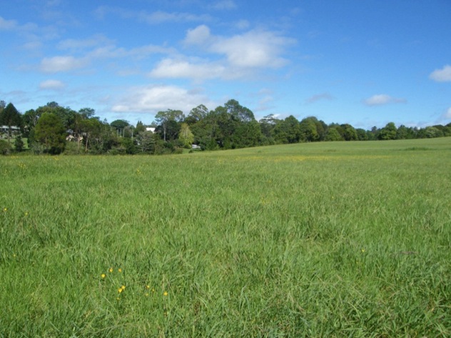
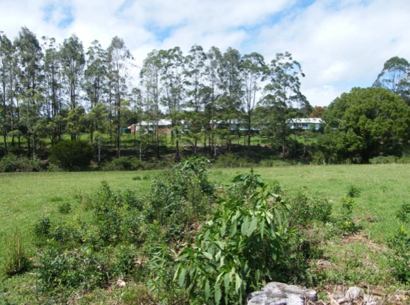
Obi Obi Creek is the main watercourse on the Maleny Plateau and a major tributary of the iconic Mary River. The proposed revegetation site has, at present, no native riparian cover and it is quite degraded. The site is the missing link for connecting significant corridors of remnant and recently established vegetation, including endangered gallery rainforest RE 12.3.1 and listed wetlands VMA REC 12.3.8.
Green Hills will work collaboratively with Sunshine Coast Council, Barung Landcare, Lake Baroon Catchment Care, SEQ Water, Unitywater and the local community to fence, protect and revegetate this 6 ha of waterway habitat using species consistent with those in the nearby gallery rainforest.
===***===
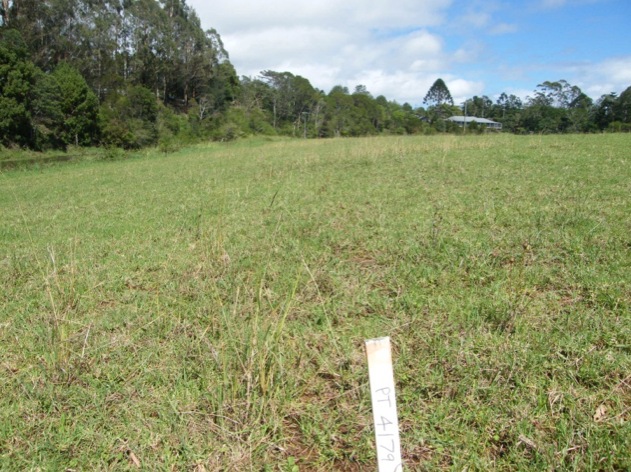
The project area has been defined and detailed planning is being undertaken for the project.
Click on map to see full screen version.
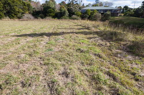
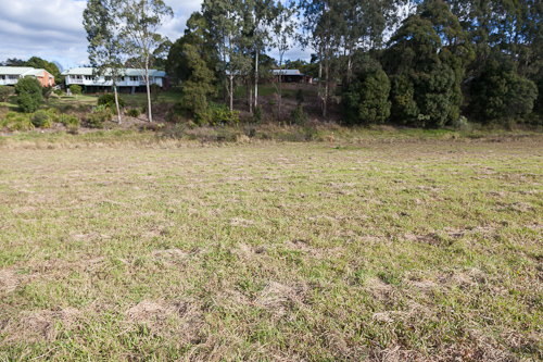
A series of seven fixed photopoints have been established adjacent to this area to enable progress monitoring to be undertaken as the project progresses:
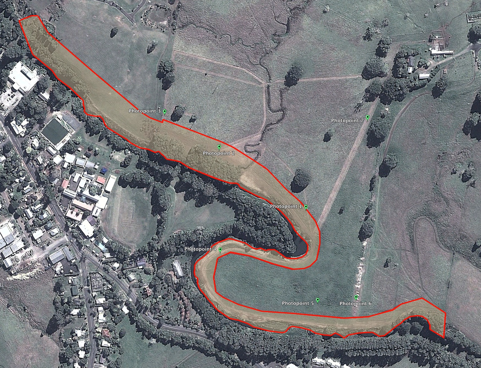
Click to see a larger version of this map.
Download Google Earth KMZ file of this map
See a collection of photos taken in these locations here, or see a slideshow of photos of the photopoints, including panoramic photos from each location.
Watch a short video on YouTube
Fixed Photopoint Location 1: 26deg 45.632min S 152deg 51.592min E
Principal Bearing: 260
Arc of View: 170 to 290
Marker Description: Black star picket with top sprayed pink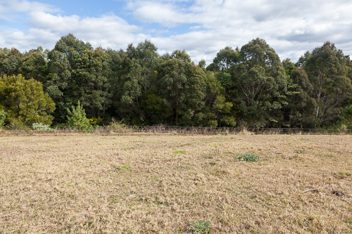
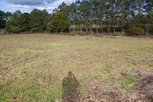
July 2012
February 2013
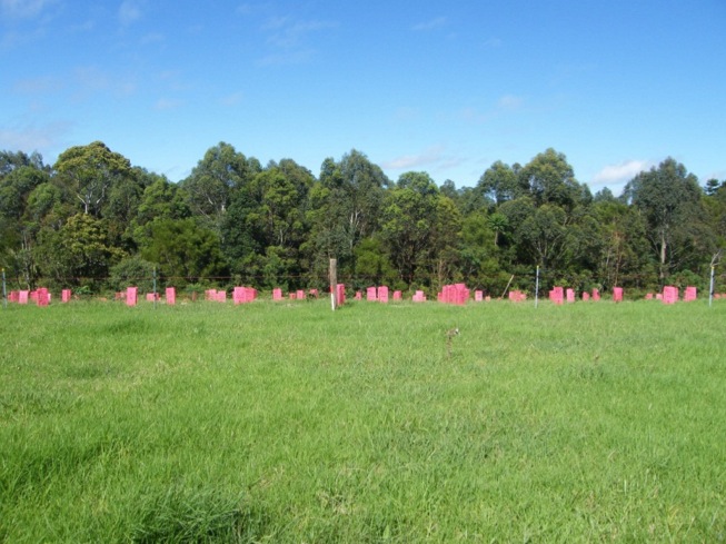
Fixed Photopoint Location 2: 26deg 45.569min S 152deg 51.490min E
Principal Bearing: 200
Arc of View: 120 to 290
Marker Description: Black star picket with top sprayed pink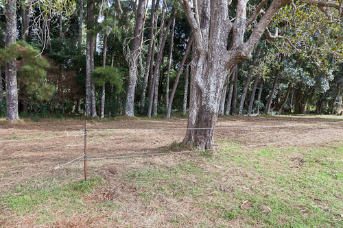
July 2012
February 2013
Fixed Photopoint Location 3: 26deg 45.532min S 152deg 51.426min E
Principal Bearing: 270
Arc of View: 120 to 295
Marker Description: Existing timber fenceline strainer post with top sprayed pink
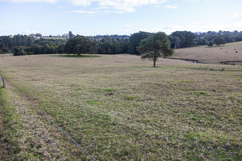
July 2012
February 2013
Fixed Photopoint Location 4: 26deg 45.677min S 152deg 51.491min E
Principal Bearing: 210
Arc of View: 195 to 090
Marker Description: Existing Unitywater pipeline route red marker post with white band
July 2012
February 2013
Fixed Photopoint Location 5: 26deg 45.730min S 152deg 51.606min E
Principal Bearing: 180
Arc of View: 110 to 260
Marker Description: Black star picket with top sprayed pink
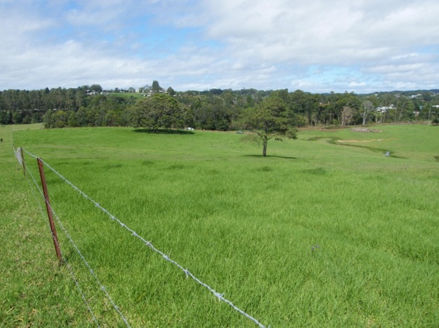
July 2012
February 2013
Fixed Photopoint Location 6: 26deg 45.727min S 152deg 51.651min E
Principal Bearing: 110
Arc of View: 090 to 240
Marker Description: Black star picket with top sprayed pink adjacent to recently felled tree stump
July 2012
February 2013
Fixed Photopoint Location 7: 26deg 45.539min S 152deg 51.663min E
Principal Bearing: 200
Arc of View: 155 to 290
Marker Description: Existing timber fenceline strainer post with top sprayed pink
July 2012
February 2013
Australian Government Caring For Our Country Community Action Grant
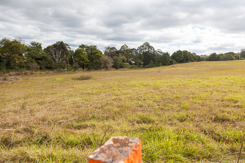
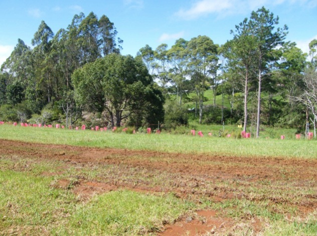
Green Hills has been granted $20,000 towards a restoration project in Obi Obi Parklands. The southern wetland on the Maleny Community Precinct is the last palustrine wetland in the Obi Obi catchment (VMA REC 12.3.8) (DERM ID 131692). Sunshine Coast Council’s Report (McG&E 2011) identifies the outflow as ‘actively eroding’. The outflow is adjacent to endangered gallery rainforest (RE 12.3.1).
The wetland sits in open farmland, unfenced from cattle. The Obi Obi Creek is the main waterway on the Blackall Range. At the wetland junction it has no native riparian cover - only weed species (lantana, blackberry [Weeds of National Significance] and woody weeds). Green Hills, Sunshine Coast Council, Barung Landcare and Lake Baroon Catchment Care Group will work together to repair the outflow, remove weeds and plant natives in the buffer zones, as part of a larger conservation strategy for the whole wetland.
=== *** ===
A fixed photopoint has been established adjacent to this area to enable progress monitoring to be undertaken as the project progresses:
Location: 26deg 45.742min S 152deg 51.779min E
Principal Bearing: 100
Arc of View: 095 to 250
Marker Description: Black star picket with top sprayed pink
=== *** ===
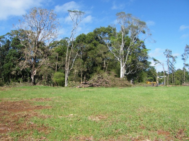
Clearing of a stretch of riparian land between the Southern Wetland and Obi Obi Creek in the Maleny Community Precinct was undertaken in January 2012. The removal of weed trees and shrubs prior to revegetation with riparian rainforest species saw the removal by large machinery of stands of privet, camphor laurel and pine trees.
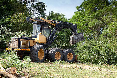
Click on the photo to see many more taken during this project activity.
Video of the weed trees and shrubs being removed (4 mins)
You can see this video in HD using YouTube.